Download our Company Profile

About ABEL
ABEL provides Engineering Project Consulting Services & Project Management Consultancy Services for Infrastructure Projects, Urban Planning, Master Planning for Town Ships, Engineering Survey & GIS.
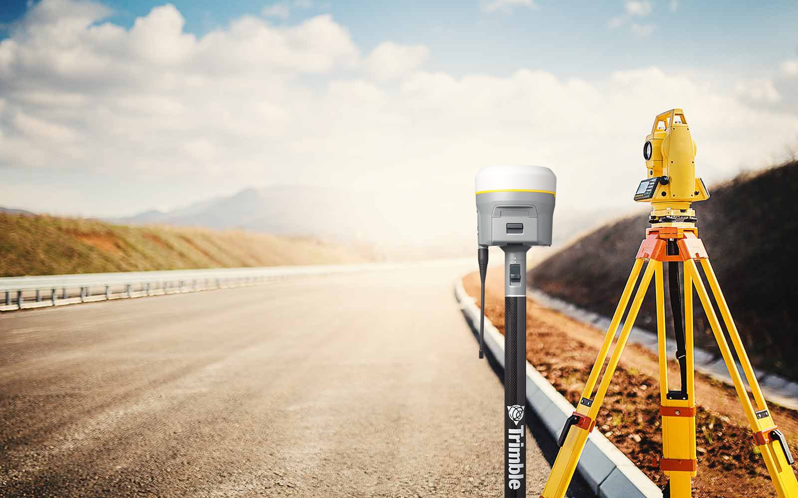
ABEL specialises in highly accurate Topographical Land Survey, Bathymetry, LiDAR, Drone Survey, GNSS and Control Network establishment.
Read More
Mission & Vision
ABEL is a dedicated Platform for delivery of Innovative Solutions for a Smarter Infrastructure Development.
ABEL helps the clients creatively, professionally and responsibly address the technical and management challenges before them in the infrastructure sector, by providing modern technologies, products, software and services in a cost-effective manner.
Read More
Why Choose Us
- We are Passionate towards Smarter Earth
- Decades of experience on Infrastructure projects
- Highest priority to accuracy
- Modern Technologies
- Cost effective
- Your success is Our success
- We care!
Services
SURVEY & GIS
Topographical Land Survey
Bathymetry Survey
Drone Survey
LiDAR Survey
DESIGNS
Water Supply Design
Sewerage System Design
Highway and Bridges
Urban Master Planning
CONSTRUCTION
Water Supply Pipeline laying
OHT Construction
Sewerage Pipes and Manholes
Storm Water Drains


