Survey & GIS

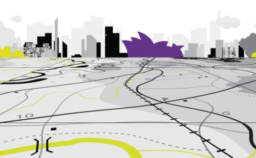
Infrastructure Mapping
Topographical Survey :
- Urban & Rural Water and Waste Water Projects
- Storm Water Drainage Projects
- Irrigation & Agriculture
- Urban Road and Road Side Drains
- City/Town Mapping and Masterplan Projects
- Smart City Projects
- Highways and Roads
- Railways & Metro Rail
- Oil and Gas
- Power Transmission Mains
- Cadastral and Land Acquisition
- GNSS Control Network
- Infrastructure Development Projects
Bathymetric Survey :
- Lake Survey
- Dam Reservoirs
- River Survey
LiDAR and Photogrammetry :
- Terrestrial LiDAR Survey
- Mobile LiDAR Road Survey
- Aerial LiDAR Survey (Urban & Roads)
- Drone Survey (Urban & Road)
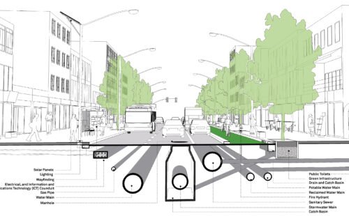
Underground Utility Mapping
Utility Condition Assessment
Designs

Infrastructure Design & DPRs
Water Sector :
- Drinking Water Supply Scheme
- Sewerage Systems
- Treatment Plants
- Storm Water Drainage
- Irrigation Projects
Highway and Bridges
Urban Master Planning
Construction

Infrastructure Construction
Drinking Water :
- Pipeline Laying
- Thrust Block Construction
- Valve Camber Construction
- OHT Construction
- Intake and Pump House
Sewerage :
- Pipeline Laying
- Manhole Construction
- Septic Tanks
- Pump House
- Wet Well
Storm Water :
- Road Side Drains
- Storm Water Drains
